

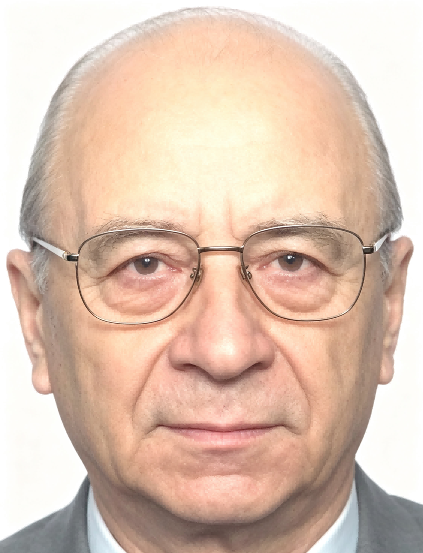
His research and professional activities encompass topographic, thematic, and planning cartography, cadastre, surveying and mapping, photogrammetry, cartomatics, and environmental geoinformation science. Author of 171 scientific articles and 42 research-and-development papers, he has supervised and coordinated major R&D projects at TU Dresden in collaboration with the petroleum and natural-gas industry, territorial-planning authorities, real-estate trustees, and military cartographic and topographic services. His five selected publications—covering the automation of cartographic processes in the landmark Brockhaus abc Kartenkunde (1983), automated cartographic design using the DIGISET-400 digital setter (1991), computer-assisted communication as a challenge for Central and Eastern European cartography (1992), metadata access for spatial planning (2007), and the status of INSPIRE standardisation across the European Union, Germany, Saxony, and Dresden (2019)—trace the evolution of his work from the automation of traditional cartography to interoperable geospatial information infrastructures. Through his leadership of the Saxonian GIS-Forum, coordination of EU framework projects, and sustained advocacy for interoperable geospatial standards, Professor Hoffmann has contributed to integrating geomatics with regional planning, environmental management, and transboundary governance across Europe.

The International Academy of Eurasian Sciences is an international scientific organisation established in January 1994 and registered in the United Nations as a non-governmental organisation of UNESCO.
International Eurasian Academy of Sciences ASEAN Centre
secretariat@ieasth.org membership@ieasth.org