

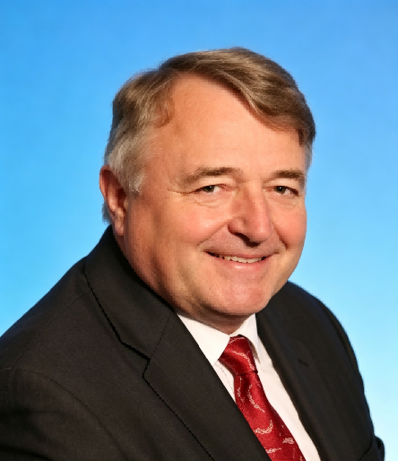
Professor Konečný’s research has focused on the application of cartography, geographic information systems, and remote sensing to early warning, crisis management, sustainable development, and environmental security. His work has been instrumental in advancing the integration of geospatial big data, digital mapping, digital twins, and citizen-sensor networks into disaster-risk reduction and land-management frameworks. Together with Karel Rais, he co-authored Geografické informační systémy (1985), one of the earliest comprehensive GIS textbooks, and has subsequently led major international initiatives including the EU–China Disaster Risk Management project and the Horizon 2020 SIEUSOIL project. His research and international leadership have contributed to the development of spatial-data infrastructures and the application of Digital Earth technologies to the Sendai Framework for Disaster Risk Reduction and the Digital Belt and Road Programme. Author of more than 130 research papers and seven books, his selected works on Digital Earth, mobile-phone-based population modelling, virtual geographic environments, and GIS reflect a sustained career dedicated to connecting geospatial science with disaster resilience, sustainable development, and international scientific cooperation across Eurasia.

The International Academy of Eurasian Sciences is an international scientific organisation established in January 1994 and registered in the United Nations as a non-governmental organisation of UNESCO.
International Eurasian Academy of Sciences ASEAN Centre
secretariat@ieasth.org membership@ieasth.org