

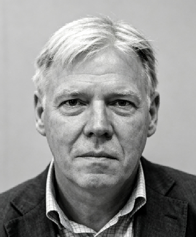
Professor Ormeling’s research encompassed thematic and atlas cartography, the historical cartography of the Dutch East Indies, toponymy, cartographic visualisation, and the application of maps in governmental decision-making. Through his research, teaching, and international service, he made a sustained contribution to the development of cartographic education and the standardisation of geographical-name practices. His influential textbook, Cartography: Visualization of Geospatial Data, co-authored with Menno-Jan Kraak, became a widely used reference for cartographic education and has appeared in numerous international editions. Together with Roger Anson, he also co-authored the Basic Cartography series, further contributing to the systematic teaching of cartographic methods and practice. Author of more than 200 publications, he produced major works including the Comprehensive Atlas of the Netherlands East Indies and studies of Indonesian exploration and historical geography. His selected works address cartographic visualisation, the historical mapping of the Netherlands East Indies, the exploration and surveying of Indonesia’s outlying islands, the origins and development of sea names, and international training in geographical-name standardisation. Collectively, these contributions reflect a distinguished career connecting the scientific and visual foundations of cartography with education, cultural and geographical heritage, and the international governance of geographical information.

The International Academy of Eurasian Sciences is an international scientific organisation established in January 1994 and registered in the United Nations as a non-governmental organisation of UNESCO.
International Eurasian Academy of Sciences ASEAN Centre
secretariat@ieasth.org membership@ieasth.org