

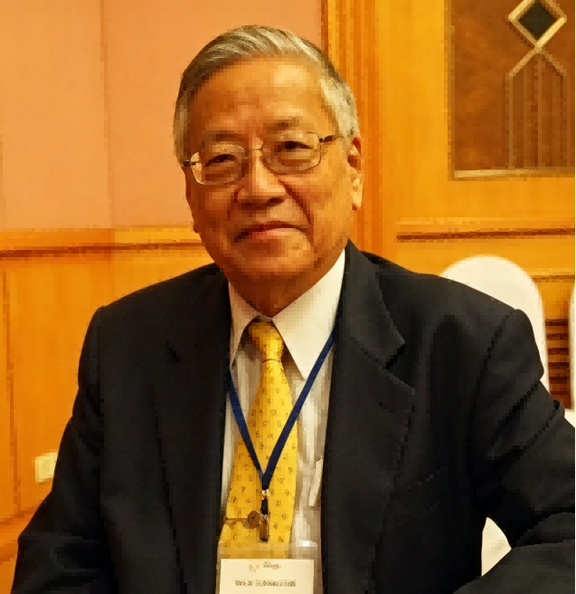
Dr. Vibulsresth’s work has focused on satellite remote sensing, geographic information systems, Earth observation systems, and the application of space technology to disaster management and natural-resource monitoring, with particular emphasis on strengthening Thailand’s indigenous Earth observation capabilities and geospatial data infrastructure. In 1981, he led the establishment of an early Landsat satellite receiving ground station in Southeast Asia, contributing to the development of Thailand’s national remote sensing data infrastructure. As Executive Director of GISTDA, he conceived and directed Thailand’s first national Earth observation satellite programme, THEOS (Thaichote), launched in 2008, providing satellite-based capabilities for cartography, agricultural monitoring, forestry management, coastal surveillance, and flood-risk assessment. He also contributed to the establishment of Thailand’s national spatial data infrastructure (Thai-SDI) and the Sentinel Asia disaster-monitoring node, while leading multinational projects in the Mekong River basin addressing agricultural remote sensing, land-use change, and food-security assessment. He has authored more than 120 publications in international conference proceedings, monographs, and regional journals, and has jointly supervised more than thirty doctoral students from Thailand, Laos, Cambodia, and Vietnam as a visiting professor at Chulalongkorn University and the Asian Institute of Technology. Collectively, these contributions reflect a sustained career connecting space science and geospatial technology with national Earth observation capabilities, disaster management, natural-resource monitoring, and regional scientific cooperation across Southeast Asia.

The International Academy of Eurasian Sciences is an international scientific organisation established in January 1994 and registered in the United Nations as a non-governmental organisation of UNESCO.
International Eurasian Academy of Sciences ASEAN Centre
secretariat@ieasth.org membership@ieasth.org