

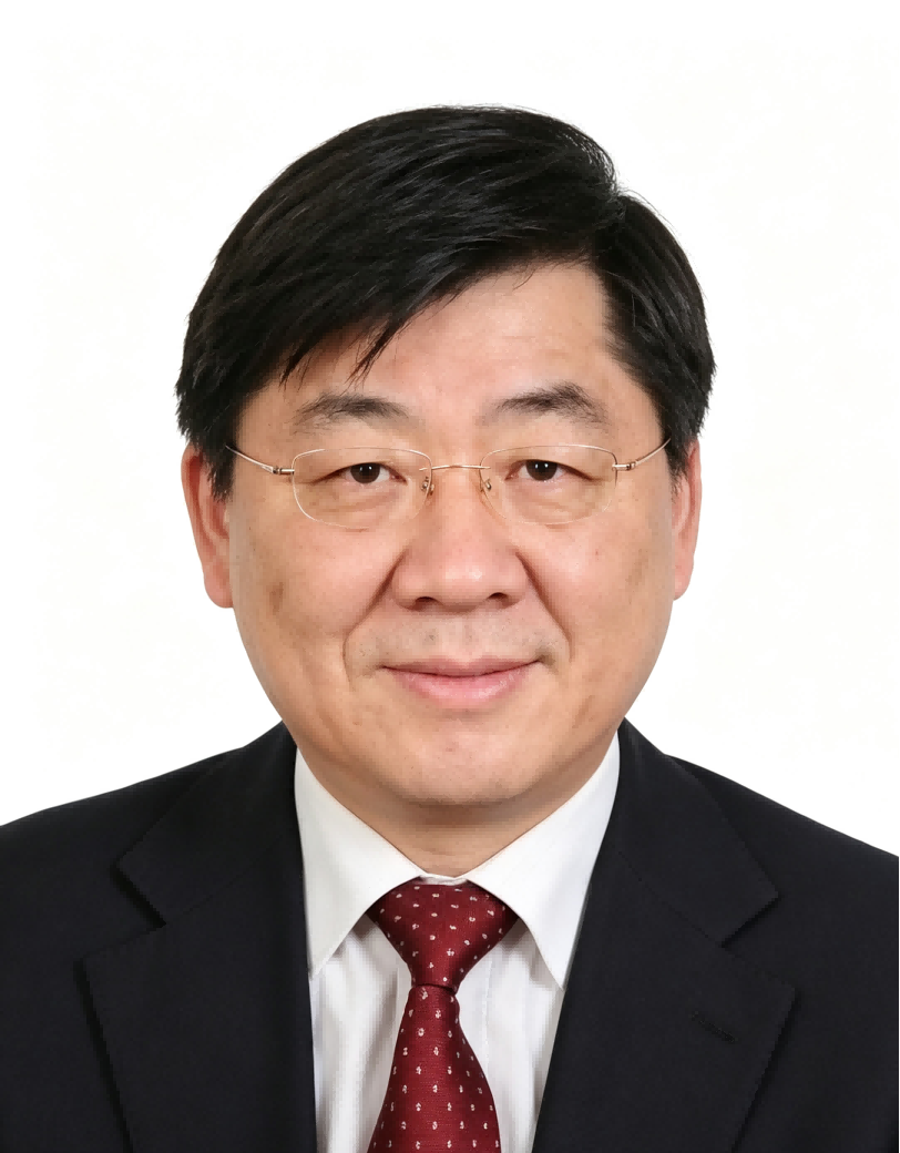
Professor Chen’s research has focused on spatio-temporal information modelling, the development of global geographic information resources, and the application of geospatial technologies to sustainable development, with particular emphasis on dynamic geographic information systems, monitoring of global surface changes, and digital-twin platforms for spatio-temporal information. Through leadership of major national research programmes and international scientific initiatives, he has contributed to advances in geographic information updating, three-dimensional national mapping, and the monitoring of Sustainable Development Goals (SDGs) through geospatial technologies. He has authored more than 400 peer-reviewed publications and five monographs and popular science works, and has served as Principal Investigator of the National Science Fund for Distinguished Young Scholars. His research achievements have been recognised among the top ten national science and technology advances by the Chinese Academy of Sciences and the Chinese Academy of Engineering and selected by the United Nations as a best practice for the Sustainable Development Goals. As the principal contributor, he has received one National Natural Science Award (Second Prize) and two National Science and Technology Progress Awards (Second Prize). Collectively, his work reflects a sustained research programme connecting the theoretical development of geomatics and spatio-temporal information science with practical applications in digital governance, resource management, environmental monitoring, and sustainable development in China and internationally.

The International Academy of Eurasian Sciences is an international scientific organisation established in January 1994 and registered in the United Nations as a non-governmental organisation of UNESCO.
International Eurasian Academy of Sciences ASEAN Centre
secretariat@ieasth.org membership@ieasth.org