

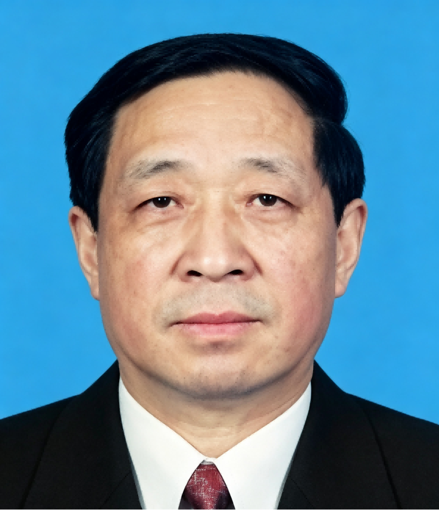
Professor Cui’s research has focused on the development and application of GIS, global positioning technology, and remote sensing for resource management, environmental monitoring, and spatial information services, with particular emphasis on integrating geospatial data infrastructure with sustainable and low-carbon development. Through leadership of major national research projects and engineering initiatives, he has contributed to the automation of cartographic production, the development of China’s remote sensing application infrastructure, and the construction of spatial information platforms supporting environmental and resource management. His research and engineering activities have also explored the application of geospatial information technologies to circular-economy systems and sustainable development. He has authored numerous peer-reviewed publications and monographs and has supervised and trained generations of geomatics scientists and engineers working in aerospace information and related fields. Through his service with the China Science Center of the International Eurasian Academy of Sciences and his sustained engagement in international academic cooperation, Professor Cui has contributed to connecting advances in geospatial information science with practical applications in resource management, ecological conservation, digital governance, and sustainable development across China and the broader Eurasian region.

The International Academy of Eurasian Sciences is an international scientific organisation established in January 1994 and registered in the United Nations as a non-governmental organisation of UNESCO.
International Eurasian Academy of Sciences ASEAN Centre
secretariat@ieasth.org membership@ieasth.org