

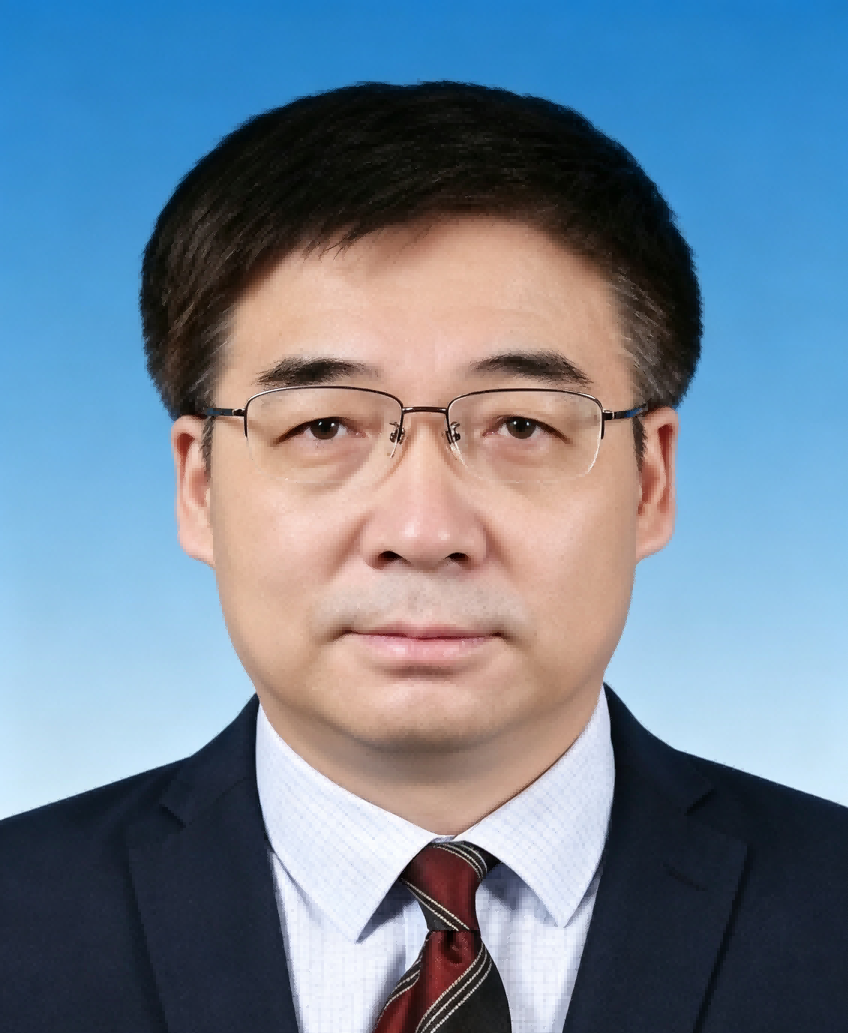
Professor Dang’s research has focused on geodetic datum theory, precise GNSS positioning, crustal deformation monitoring, and geodetic inversion, with particular emphasis on maintaining China’s geocentric coordinate reference frame and applying multi-GNSS data processing to studies of Earth dynamics. He served as Technical Coordinator of the 2020 China–Nepal joint Mount Qomolangma (Everest) height measurement campaign and Chair of its Joint Technical Committee, contributing to the establishment of a regional international height reference framework and the development of a high-precision gravimetric geoid model for the Everest region. The work was recognised by the International Association of Geodesy for its contribution to high-precision geodetic measurement in one of the world’s most challenging environments. He has led more than fifty national and ministerial research projects, including key projects under the National 863 Programme, the National Science and Technology Support Programme, and the National Natural Science Foundation of China. He has authored more than 300 peer-reviewed publications and eight monographs and has received the National Science and Technology Progress Award (Second Prize, as first completer) and three Provincial/Ministerial Science and Technology Progress Awards, including Special and First Prizes. Through sustained research leadership and participation in major national geodetic engineering projects and international scientific collaborations, Professor Dang has contributed to advancing the theoretical and practical foundations of geodesy for national spatial reference systems, satellite navigation, Earth-system monitoring, and international geodetic cooperation across Eurasia.

The International Academy of Eurasian Sciences is an international scientific organisation established in January 1994 and registered in the United Nations as a non-governmental organisation of UNESCO.
International Eurasian Academy of Sciences ASEAN Centre
secretariat@ieasth.org membership@ieasth.org