

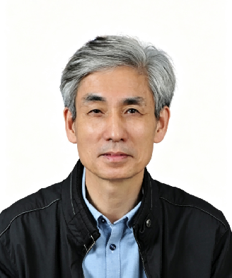
Professor Guo’s research has focused on the theoretical foundations and engineering applications of geographic information technology, with particular emphasis on spatial analysis, GIS-based land-resource management, automated map generalisation, and three-dimensional cadastral systems. His monograph Spatial Analysis was among the earliest Chinese theoretical works devoted to spatial analysis in geographic information science. He led the development of one of China’s earliest large-scale distributed land-resource management information systems based on GIS technology, contributing to the digital transformation of land-resource management and receiving the National Science and Technology Progress Award (Second Prize) in 2000. His research on automated map generalisation subsequently supported the first engineering application of such technology in China and received the National Science and Technology Progress Award (Second Prize) in 2005. His work on open spatial information platforms was recognised with the Best Application Award at the 2013 World Geospatial Forum, reflecting an internationally recognised application of GIS technology in the Chinese urban context. The three-dimensional cadastral system developed by his team was among the earliest such systems to enter practical application internationally, contributing to the advancement of three-dimensional cadastral research and practice in China. He has authored numerous peer-reviewed publications and monographs. Collectively, these contributions reflect a sustained research programme connecting theoretical advances in geospatial information science with practical applications in land-resource management, urban information systems, and smart-city development.

The International Academy of Eurasian Sciences is an international scientific organisation established in January 1994 and registered in the United Nations as a non-governmental organisation of UNESCO.
International Eurasian Academy of Sciences ASEAN Centre
secretariat@ieasth.org membership@ieasth.org