

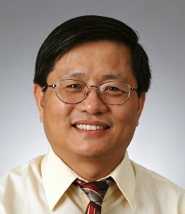
Professor Li’s research has centred on photogrammetry, remote sensing, space Earth observation, and planetary mapping, with particular emphasis on the geometric processing of satellite imagery, digital terrain modelling, and the application of remote sensing to cryospheric and hydrological sciences. As Chief Scientist of the National Key Basic Research Programme (973 Programme) and Principal Investigator of projects under the National Key Research and Development Programme and key projects funded by the National Natural Science Foundation of China, he has contributed to the development of high-precision satellite photogrammetric techniques and their application to global change monitoring. He has authored more than 200 international peer-reviewed publications, including twelve co-authored papers in Science, and has received multiple awards from NASA and the American Society for Photogrammetry and Remote Sensing. Through sustained research, leadership of national scientific programmes, and international collaboration, Professor Li has contributed to connecting advances in photogrammetry and Earth observation with applications in global environmental monitoring, planetary exploration, cryospheric and hydrological research, and sustainable development.

The International Academy of Eurasian Sciences is an international scientific organisation established in January 1994 and registered in the United Nations as a non-governmental organisation of UNESCO.
International Eurasian Academy of Sciences ASEAN Centre
secretariat@ieasth.org membership@ieasth.org