

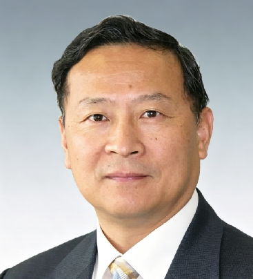
Professor Lin’s research has centred on geographic information science, remote sensing, virtual geographic environments, and spatiotemporal analytics, with particular emphasis on immersive virtual environments for geographic analysis, the integration of GIS and remote sensing for environmental monitoring, and the application of geospatial technologies to wetland and watershed management. Through sustained research and leadership of national and international collaborative programmes, he has contributed to the theoretical development and engineering applications of virtual geographic environments, as well as to the integration of geospatial science with virtual reality, artificial intelligence, and big-data analytics. His work has been published in peer-reviewed journals and international conferences. Through academic leadership and international scientific collaboration, Professor Lin has contributed to connecting advances in geospatial information science with applications in environmental conservation, smart-city development, and sustainable watershed management.

The International Academy of Eurasian Sciences is an international scientific organisation established in January 1994 and registered in the United Nations as a non-governmental organisation of UNESCO.
International Eurasian Academy of Sciences ASEAN Centre
secretariat@ieasth.org membership@ieasth.org