

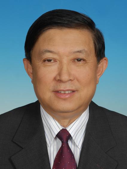
Professor Xu’s research has centred on satellite digital image processing and the theory and methodology of integrated remote sensing survey and mapping. He developed methods for image classification, polygon generalisation, biomass estimation, and related remote-sensing applications, and established an early digital image processing system in China for satellite remote-sensing data used in resource surveys. He further developed a framework for integrated remote sensing survey and series mapping and led the formulation of technical regulations for the mapping of renewable resources. As leader of a national key project on the remote-sensing survey and monitoring of forests and other renewable resources in the Three-North Shelterbelt region, he led the development of large-area thematic mapping and a resource and environmental information system based on satellite imagery, enabling the production of series maps at 1:100,000 and 1:200,000 scales over extensive areas. These achievements received two National Science and Technology Progress Awards (Third Prize) and Ministry of Forestry awards. His subsequent work has focused increasingly on global change research and national scientific programme development, including leadership of expert groups for major national research programmes. Through sustained research, leadership of major scientific programmes, and service in science and technology policy, Professor Xu has contributed to the development of remote sensing and Earth observation in China and to the application of geographic information technologies in resource and environmental management.

The International Academy of Eurasian Sciences is an international scientific organisation established in January 1994 and registered in the United Nations as a non-governmental organisation of UNESCO.
International Eurasian Academy of Sciences ASEAN Centre
secretariat@ieasth.org membership@ieasth.org